Navigational Chart echo sounder Lowrance, SimRad and ot
Content: 40327231550547.rar (8.79 MB)
Uploaded: 27.03.2014
Positive responses: 2
Negative responses: 0
Sold: 2
Refunds: 0
$8
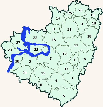
author maps the Samara region with completion of certain places, backwaters, ditches and the designation of private navigation points type of fisheries, hazardous shoals, etc. for navigators, kartploterov-sounder Lowrance (Lovrens), Simrad (Simrad), and others.
Later bought the card will be given the opportunity by sending their recorded tracks get adjusted taking into account the annual changes in the natural landscape map of the area where you swim regularly.
Made by Navionics (Navionics).
Later bought the card will be given the opportunity by sending their recorded tracks get adjusted taking into account the annual changes in the natural landscape map of the area where you swim regularly.
Made by Navionics (Navionics).
After payment you will receive the file in the file cards that need to be copied to a memory card you vstvite to your depth sounder - kartploter.
07.02.2015 5:57:07
ок всё работает, приятно, что кроме качественной отрисовки рек и озёр есть ещё и дороги, как в городе так ив полях. Супер.
07.02.2015 5:50:45
Действительно очень хорошие карты - поставил на ловренс. Радует наличие мелкир речушек. Спс.